Snow drought in the High Atlas of Morocco

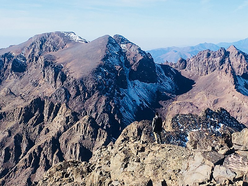
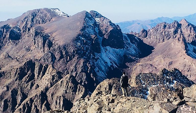
There is currently almost no snow in the High Atlas mountains.
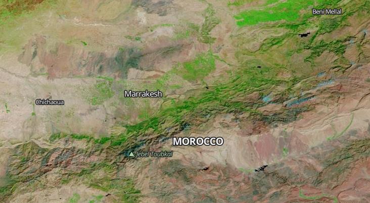
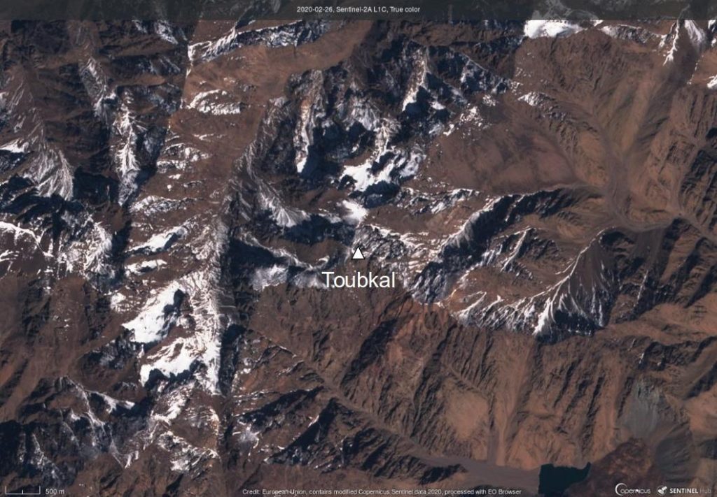
Even the Toubkal massif, which culminates at 4167 m above sea level, is almost snow-free.
The snow cover area is known to be highly variable in the High Atlas (Marchane et al. 2015; Baba et al. 2018). How does the current situation compare to previous years?
The MODIS sensor acquired daily images of the Earth since 2000. I selected one clear-sky image of the High Atlas in early March of every year since 2000.

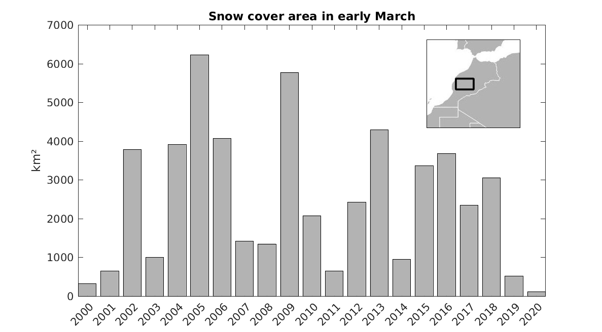
Then I extracted the normalized snow difference index (NDSI) from the corresponding MOD10A1 product to compute the snow cover extent over this region (pixels where NDSI>0.2).
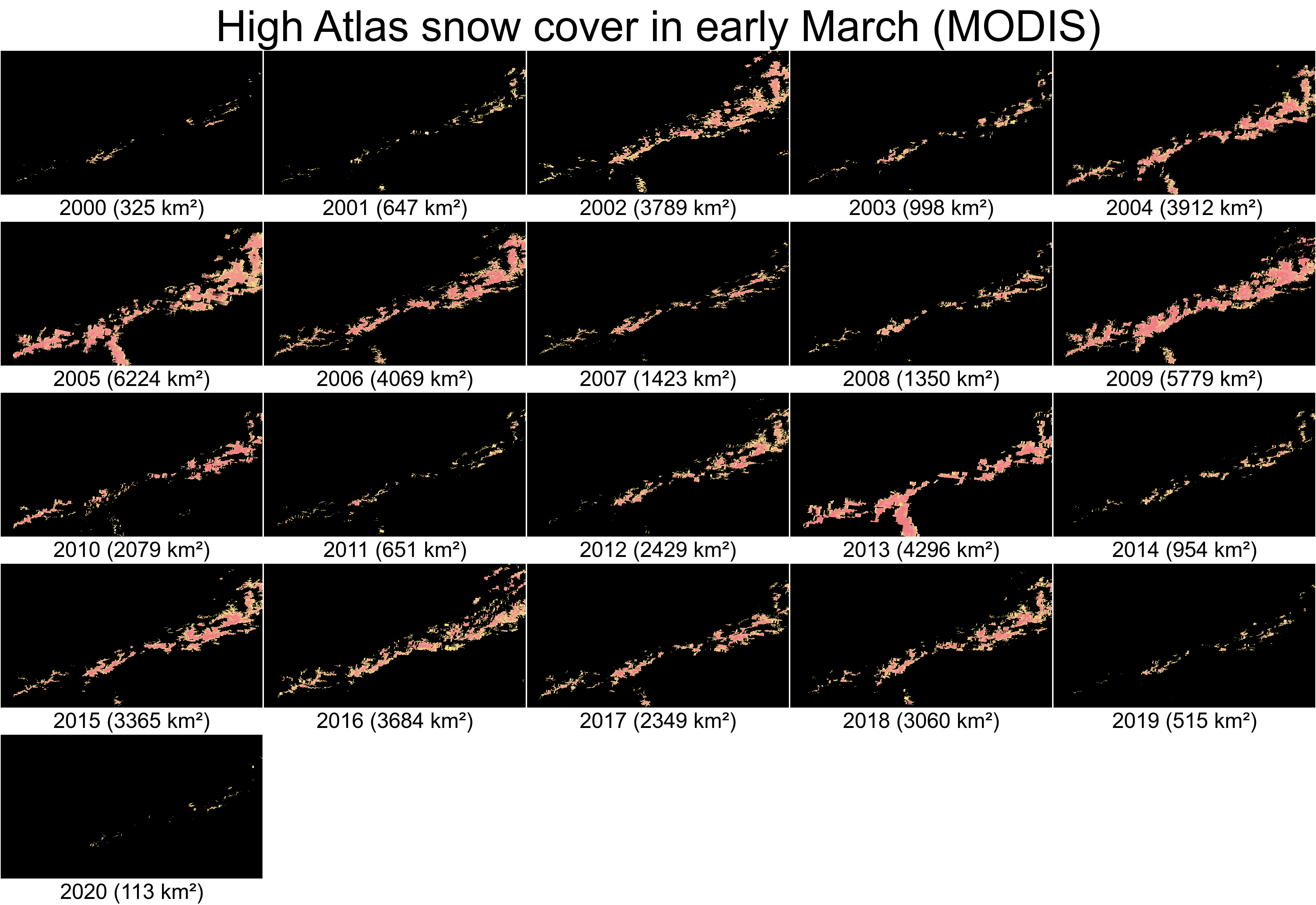
This analysis shows that the snow cover area in early March 2020 (113 km²) is significantly lower than the previous worst year on record (325 km² in 2000).
This snow deficit is very bad news for the people in the Haouz region where lakes and rivers are already dry due to the low precipitation over the past two years. In normal years, snow melt runoff sustains the river discharge in spring and replenishes reservoirs.
References
- Marchane A., Jarlan L., Hanich L., Boudhar A., Gascoin S., Tavernier A., Filali N., Le Page M., Hagolle O., Berjamy B., (2015) Assessment of daily MODIS snow cover products to monitor snow cover dynamics over the Moroccan Atlas Mountain range, Remote Sensing of the Environment, 160, 72-86, doi:10.1016/j.rse.2015.01.002
- Baba, M. W., S. Gascoin, L. Jarlan, V. Simonneaux, L. Hanich (2018), Variations of the snow water equivalent in the Ourika catchment (Morocco) over 2000-2018 using downscaled MERRA-2 data, Water, 10(9), 1120, doi:10.3390/w10091120.