Slides and conclusions of the MAJA/Theia worskhop
The Theia workshop for Sentinel-2 L2A MAJA products was held in Toulouse on the 13th and 14th of June 2018.
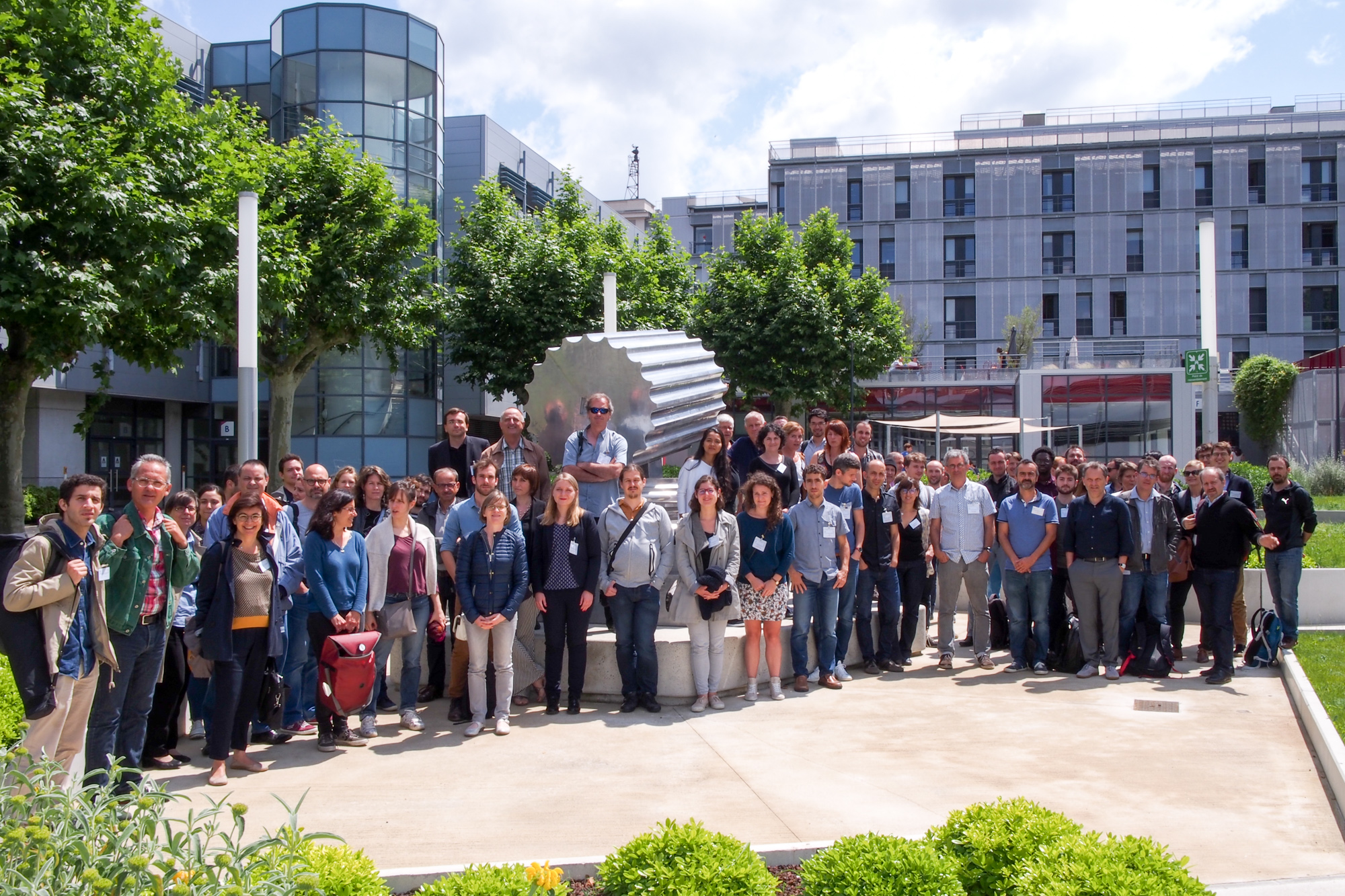
About 80 people participated either on the 13th or 14th, and nearly 70 participants attended each day of this workshop, whose object was to collect feedback and share experiences on the quality, use and applications of the L2A surface reflectance products delivered by Theia from Sentinel-2 data.
Slides
Here are the links to read and download the presentations. The organisers are very grateful for the hard work presented in all these documents.
SESSION 1 – DATA / PRODUCTS
- P. Maisongrande (CNES): The French thematic data centers
- A. Selle (CNES): Introduction for the workshop
- O.Hagolle (CESBIO/CNES): About MAJA
- C.Desjardins, (CNES): Validation of L2A products provided by MAJA L2A Processor
- B.Rouquié (CESBIO): Using Copernicus Atmosphere products in the atmospheric correction processor MAJA
- I. Sola (U. Navarra): Inter-comparison of atmospheric correction methods applied to Sentinel-2 images
- S. Gascoin (CESBIO): Three snow seasons in the Pyrenees through the eyes of Sentinel-2
- M. El Hajj, (TETIS): New algorithm for mapping soil moisture by coupling Sentinel-1 and Sentinel-2 images
SESSION 2 -PLATFORMS
- G. DEDIEU (CESBIO): Venµs: the mission and its first results after 11 months in orbit
- J.Donadieu (CNES): MUSCATE: A Multi-Satellite, Multi-Sensors and Multi-Temporal Versatile Platform designed for THEIA
- S. Bontemps (UC Louvain): Sentinel-2 for Agriculture: Sentinel-2 operational exploitation for supporting agriculture monitoring at parcel level from local to national scale around the world
- M. Savinaud (CS-SI): Geo Storm on EO IPT Poland: a private initiative to provide EO adding value data in a geospatial platform
- B.Thumerel (E2L): An experience in making Sentinel-2 based services possible, useful, and operational
SESSION 3 –AGROSYSTEMS
- R. Van Hoolst (VITO): Experiences with Sentinel-2 data for crop monitoring in Belgium
- F. Toumiat (E2L): Designing a service with the Living Lab approach
- D.Courault (EMMAH): Combining crop model with Sentinel 2 data for the assessment of rice agricultural practices and yields in the South-Eastern France
- R.Fieuzal (CESBIO): In-season estimation of sunflower and wheat yields using optical multi-temporal satellite images
- E.Delaitre (IRD): Towards a monitoring system for oasis agro-systems using Sentinel2 data
- C.Revillon (U. La réunion): Two case studies on the use of Sentinel-2 MUSCATE images in tropical contexts (French Guiana and Madagascar)
SESSION 4 – LAND COVER
- M.Planells (CESBIO): Sentinels synergy for seasonal agricultural crop mapping
- J.Inglada (CESBIO): A comparison of L2A Sentinel-2 image data providers for large scale land cover mapping: MAJA vs SEN2COR
- R. Gaetano (TETIS): Evaluating Sentinel-2 L2A MAJA Products for Automatic Land Cover Classification in Tropical Areas using VHSR imagery and Satellite Image Time Series
SESSION 5 – FOREST
- J.B.Feret (TETIS): Sentinel 2 BOA reflectance in the context of tropical rainforest: preliminary illustration of the challenges for the extraction of vegetation properties
- J.B.Feret (TETIS): Monitoring biophysical properties of Eucalyptus plantations using Sentinel 2 time series
- Y.Hamrouni (DYNAFOR): Poplar plantations monitoring with Sentinels products : combination of optical and radar remote sensing data
- N. Karasiak (DYNAFOR): Monitoring and understanding the green-leaf phenology of tree species with Sentinel-2
- B.Reymond (ONF): Post-Fire assessment using Sentinel-2 images in French Mediterranean area
- L. Kergoat (GET): Non-photosynthetic vegetation monitoring in agro-pastoral Sahel and erosion risk.
SESSION 6 – WATER
- S. Pena Luque (CNES): SURF-WATER : A high-resolution and near real time monitoring of surface water extent using a multi-sensor& multi-temporal approach
- J.M.Martinez (GET): Assessing water quality over inland waters with Sentinel-2 THEIA products
- M. Grippa (GET): Monitoring West African water bodies using Sentinel2
Posters
(We have not received yet all the posters, we will add them as soon as they arrive)
- Jean-Pierre Dedieu, IGE, Calibration et Validation d’un algorithme dédié à Sentinel-2 par imagerie hyperspectrale. Application pour le suivi des cyanobactéries dans les lacs du quebec méridional (Canada)
- P.Kettig (CNES), Integration of the Weighted Average Synthesis Processor (WASP) within MUSCATE
- A.Ouakil (Univ. Ibn Tofail, Kenitra, Maroc) Intégration des données Sentinelle 2 dans un système SIG pour la quantification et l’évaluation de l’érosion hydrique. Cas du Barrage Sidi Mohammed Ben Abdellah (Maroc)
- M.Neuhauser, CESBIO, Multiscale description of Sentinel-2/MAJA products:a spectral and structure function approach
- F.Bioresita (Live), Spatial Distribution of Total Suspended Solids as Impactof Sidoarjo Mud Disaster using Sentinel-2 imagery
- A.Stumpf (Live), Detection And Monitoring of Large Landslides from Optical Satellite Image Time-Series: The Prototype MPIC Service Tailored for the Alpine Massif
- A.Puissant (Live): URBA-OPT-S2 : towards a processing chain basedon Sentinel-2A to extract artificialized areas
- B.Mougenot (CESBIO) et al: Sentinel-2 for environmental ressources in Tunisia. First results with L2A data
- V.Cheret (Dynafor): Health status diagnosis of chestnut forest stands using Sentinel-2 images
Conclusions
Regarding Sentinels
- All the community is very grateful to the Copernicus program of the European Union and ESA for providing such great and useful data as those provided by the sentinels, and especially, of course, Sentinel-2.
Regarding MAJA
- MAJA L2A products are used for very diverse applications, although MAJA is more adapted to processing over land than over water. Implementing a specific atmospheric correction above water is therefore relevant (J.M.Martinez).
- Using MAJA L2A products generally performs better than L1C and Sen2cor L2A, as shown in the slides from C.Desjardins, I.Sola, R.Van Hoolst, J.Inglada or R.Gaetano
- MAJA still needs improvements: misses small clouds (R. Van Hoolst), has negative values (O.Hagolle, J.M.Martinez), and shows insufficiently accurate results above very uniform landscapes such as equatorial forests (J.B.Feret)
- Given the advanced results obtained by MAJA regarding cloud detection, some users would be happy to use the cloud mask independently from the atmospheric correction. This will be implemented end of 2018 within MAJA NG, which will be split into modules, each one formatted as an OTB application, and wrapped with a python main program.
- The L3 composite product (monthly synthesis of cloud free reflectance, poster from P.Kettig) prepared by Theia, will be a useful product to monitor targets with a slow evolution, such as forests.
Regarding Theia
- Many users requested to extend the zones processed by Theia with MAJA
- Several users asked for an improvement of the real time production by Theia, which is not fully robust and reliable yet.
- Several users would like to access to Theia data in cloud platforms, such as DIAS or other platforms
- Distribution of products under a Cloud Optimized Geotiff (COGEO) format would be appreciated, to access to part of images or specific bands
- Theia initiative to distribute high quality products from Sentinel data is important and useful but lacks funding. The processed zones are still small and scattered, and the operational implementation of the various products developed under the CES initiative is too slow, because of the lack of financial support to help the research teams transform their breadboard and demonstrations into operational processors.
 Attendance on the 13th of June afternoon (Gérard was probably taking notes about the presentation going on) |
|