
Sentinel2 : movies, not photography !
 =>
=> 

You all know how I am a strong supporter of Sentinel-2 mission; and an admirer of how the project was conceived, conducted, with a minimal delay, excellent performances and a ground segment which started producing data very quickly after the end of commissioning phase. However, each time I have a look at ESA’s communication around Sentinel-2, I have the feelingthat ESA is talking about a different mission much less interesting than the true one. Please just look at the news about the Nile delta,or the Egyptian desert, or the blue reefs of the red sea, or Berlinor the Algae blooms, or even the very nice cartoon that describes Sentinel-2 mission, or finaly this poor « colour vision » slogan, . On all these news, we learn that Sentinel-2 satellite works, and that it is able to do as well as what SPOT5 was already doing in 2002 : nice color images at 10m resolution !In all these communication, you will not find the words « time series », « repetitivity ». In my sense, the main feature of Sentinel-2 (its repetitivity at a high resolution) is forgotten.Yet, after at least 6 moths of observations in Europe, there must be very nice examples of time series, showing interesting evolutions, such as the ones we obtained over 5 months with SPOT (Take5) such as the artic ice field melt , the eruption of Fournaise volcano at the Reunion Island, rice growth in Valencia, the Australian bush fires, or the effect of the first frost in Siberia
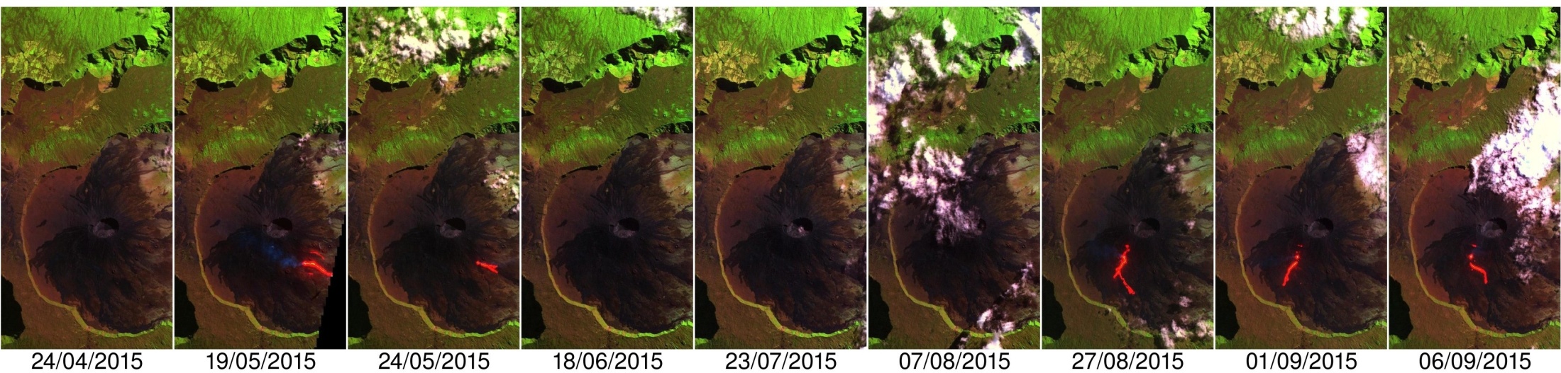
It would not be that difficult for ESA to search for this kind of examples to outline Sentinel-2 multi-temporal capabilities. So, if ever you meet someone in charge of ESA’s communication, please remind him or her that Sentinel-2 makes movies, not photography !

