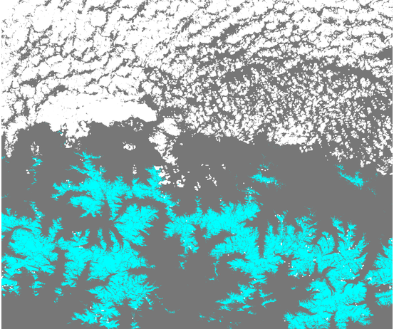
Last Sunday’s snow cover map from Sentinel-2

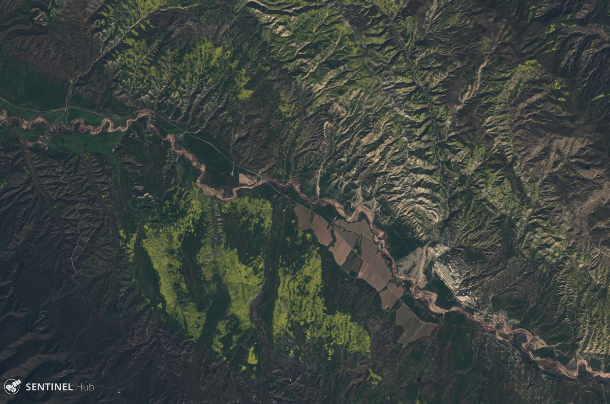
We know that fast distribution of satellite products is critical for many applications, including the planning of your next weekend. Olivier just announced that Theia is now delivering Sentinel-2 Level 2A data in near real time. This is great because today I was able to make the snow cover map of the Pyrenees on Sunday at 20-m resolution. 
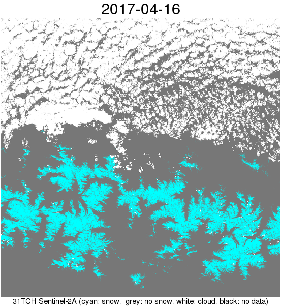
The L2A image was actually published on Tuesday afternoon so I could have posted this snow map two days ago.

You can look at a simplified version of this snow map in Google maps here. For example you can check the snow conditions in Baqueira…

Baquiera snow cover on 16 Apr 2017

Plus d'actualités

Sentinel-2 overtakes Landsat in scientific litterature

The OpenAlex is a new but already very convenient open database to survey scientific litterature. For a coming blog post on CNES Datacampus site, I studied the proportion of papers using only one of the Sentinel-2 or Landsat missions, and papers using both of them, in 2025. And what stroke me is that Sentinel-2 just […]

Everything, Everywhere, All at Once

This blog post is not a review of the excellent and deeply philosophical, parallel-universes delirium movie by Daniel Kwan and Daniel Scheinert, but the title of this drama resonates with the capabilities of our latest algorithm, which has just been published in Remote Sensing of Environment: J. Michel and J. Inglada, « Temporal attention multi-resolution fusion […]

Three Sentinel-2 satellites instead of two: impact on the retrieval of the snow disappearance date

Due to the success of Olivier’s petition, ESA kept Sentinel-2A operational after the launch of Sentinel-2C. Having three operational satellites instead of two increases the revisit, which should improve the quality of the derived products, and therefore the reliability of operational services based on Sentinel-2 data. One of this service is the Copernicus’ High Resolution […]

Rechercher