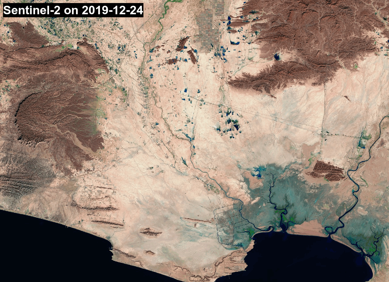
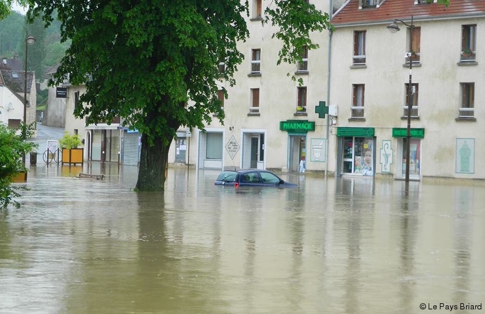
Floods in southeast Iran

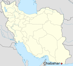
The region of Sistan and Baluchestan was hit by very heavy rain causing widespread flooding near Chabahar city in southeastern Iran.

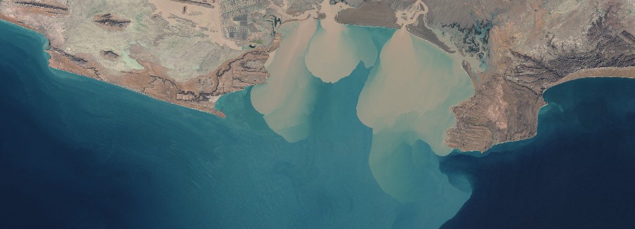
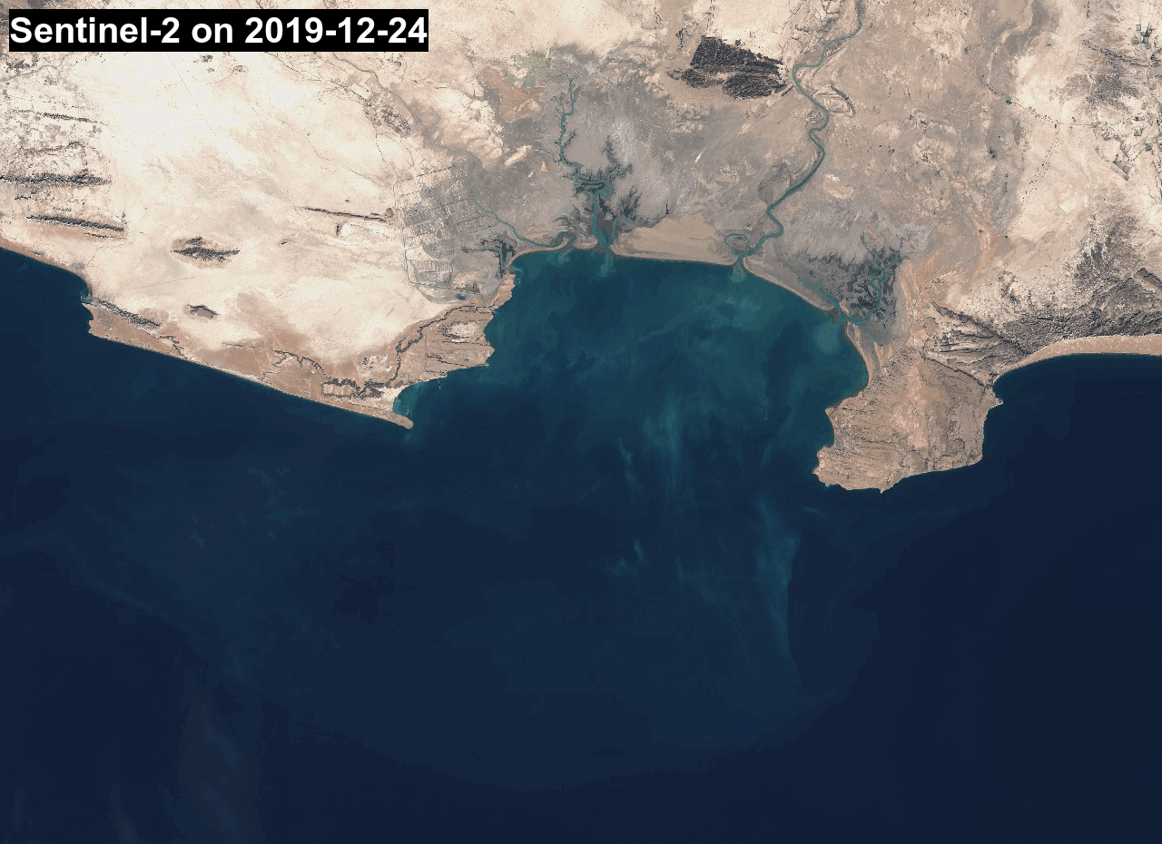
Sentinel-2 captured the plume of sediments from rivers Bahu Kalat (Iran) and Dasht (Pakistan) in the Gwadar Bay, located in the Gulf of Oman on the maritime border of Pakistan and Iran.


In false colors using the SWIR band of Sentinel-2, flooded areas around the Bahu Kalat river are well visible in turquoise blue.

Plus d'actualités

Three Sentinel-2 satellites instead of two: impact on the retrieval of the snow disappearance date

Due to the success of Olivier’s petition, ESA kept Sentinel-2A operational after the launch of Sentinel-2C. Having three operational satellites instead of two increases the revisit, which should improve the quality of the derived products, and therefore the reliability of operational services based on Sentinel-2 data. One of this service is the Copernicus’ High Resolution […]

Rapid analysis of the GLOF in Gupis, Gilgit-Baltistan

Pakistan news media reported that a glacier lake outburst flood (the failure of a dam containing a glacial lake) occurred near Gupis, Gilgit-Baltistan, a highly mountainous region administered by Pakistan. Satellite images show that the flood triggered a debris flow, which reached the Gupis valley where it hit the Roshan (Rashon) village and blocked the […]

Dates de fauche en France

En 2024, des collègues du Cesbio ont publié un article* sur la cartographie de la date de fauche en France en 2022 à partir des données satellitaires Sentinel-2.   Leur magnifique figure 10 a attiré mon attention. La version à haute résolution fournie avec l’article (2861 × 2911 pixels) correspond à une image dont les pixels font […]

Rechercher