First SPOT5 (Take5) Ortho
![]() =>
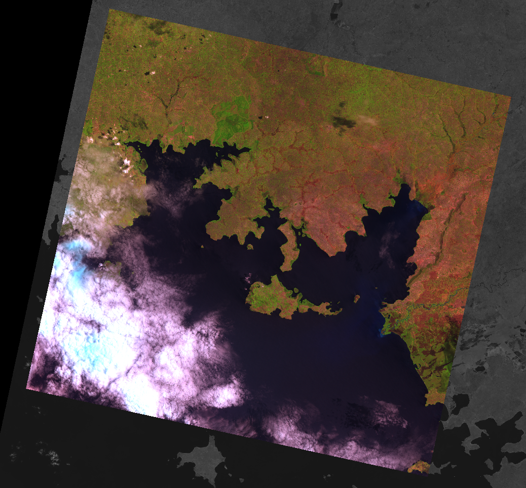
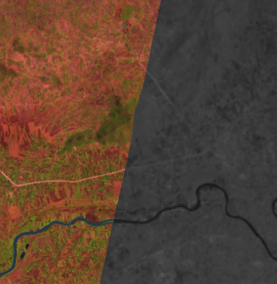
=> ![]() Here is a screen copy of the first SPOT5 (Take5) ortho-rectified image (L1C) from the Lake Victoria image in Uganda, registered with a similar product from LANDSAT 8. Both images match very well, but we need to validate that much further. However, although it is not a surprise, it is good news that processors start to be working quickly.
Here is a screen copy of the first SPOT5 (Take5) ortho-rectified image (L1C) from the Lake Victoria image in Uganda, registered with a similar product from LANDSAT 8. Both images match very well, but we need to validate that much further. However, although it is not a surprise, it is good news that processors start to be working quickly.
We are starting to catch-up our late start due to the late definition of the sites. Most of the ancillary data for the 150 sites are ready (still missing the most Northern sites), and the first ortho-rectification was processed on the nominal configuration at THEIA (CNES) by the MUSCATE exploitation team. Many thanks to all the colleagues who contributed to this work, especially Karl, Dominique Vincent and Laurent !