Le traitement des données Landsat 8 a démarré au pôle THEIA
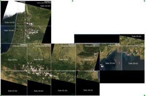
=>Depuis le début de la semaine, le centre de traitement prototype MUSCATE du pôle THEIA a commencé à traiter les données LANDSAT 8 disponibles sur la France. Pour le moment, ce sont les données de 2013 qui sont en cours de traitement, elles vont être traitées au Niveau 2A, Comme pour les produits SPOT4 (Take5), […]