VENµS : il reste de la neige dans les Pyrénées
Du Mont Valier à la Roca Foradada, le 30 avril (à gauche) et le 6 mai 2019 (à droite) Visualisation 3D Télécharger un fichier KMZ pour Google Earth :30 avril 20196 mai 2019
Du Mont Valier à la Roca Foradada, le 30 avril (à gauche) et le 6 mai 2019 (à droite) Visualisation 3D Télécharger un fichier KMZ pour Google Earth :30 avril 20196 mai 2019
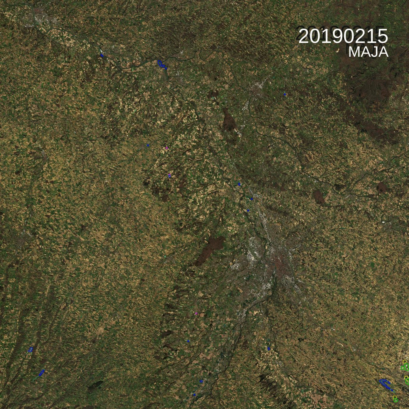
=> There is an odd image in this time series of L2A products of the 31TCJ Sentinel-2 tile (Toulouse region). Can you guess which one ? Yes it is the last one, acquired on the 26th of February. But what’s odd with it ?
=>Parmi cette série temporelle d’images de niveau 2A de la tuile 31TCJ (Toulouse), il y a une intruse. Saurez vous déviner laquelle ? Oui, c’est la dernière,, acquise le 26 Février. Mais qu’a t’elle de spécial ?
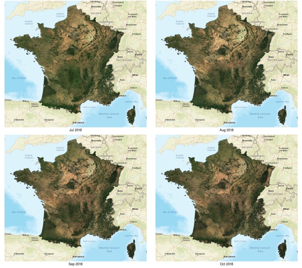
WASP (Weighted Average Synthesis Processor) is the tool we use to compute the nice (mostly) cloud free syntheses of Sentinel-2 surface reflectances, as shown in the images below. A full resolution viewer is also available in this post, or you may also download the products you can download from Theia. As promised (but it took […]
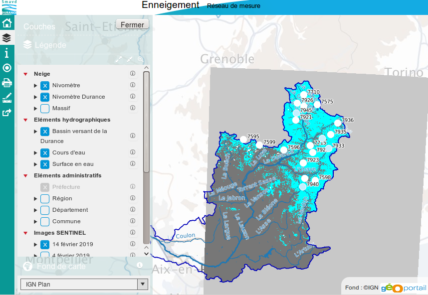
Le Syndicat Mixte d’Aménagement de la Vallée de la Durance [1] commence à utiliser les cartes d’enneigement produites par Theia pour alimenter sa cartothèque. Il s’agit d’un démonstrateur en cours d’élaboration mais qui est consultable par tous en ligne. Merci à Pascal Dumoulin pour l’info !

=> Airplanes largely disrupt our remote sensing images, because of the ice contrails they leave behind them, which often turn into cloud cover. We had to set up a method for detecting and correcting aircraft contrails. LANDSAT 8 image acquired over Paris on 14/04/2013. On the left, RGB color composition, on the right, image of […]

=>Les avions perturbent largement nos images spatiales, en raison des traces de cristaux de glace qui se forment derrière eux et qui se transforment souvent peu à peu en voiles nuageux. Nous avons dû mettre en place une méthode de détection et de correction des traces d’avion. Chaque vol en avion, en plus de participer […]
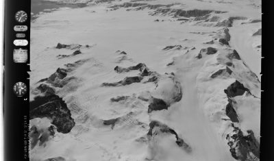
The Polar Geospatial Center has put online a nice web mapping interface to browse and download trimetrogon aerial (TMA) photography of Antarctica [1]. The trimetrogon was a system of three cameras which captured three photographs at the same time, one vertical and two high oblique. I made the animation [2] below with the left photos […]
Several areas in Nebraska experienced record flooding this past week.