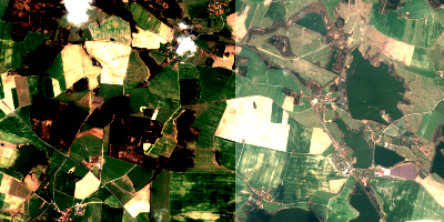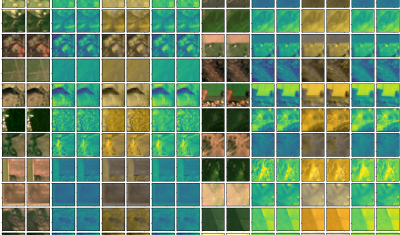
Publication of the Sentinel-HR phase-0 study final report
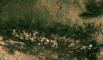
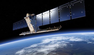
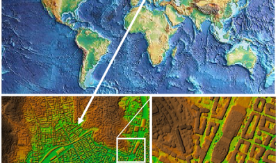
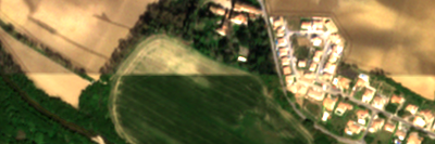
=> As agreed by CNES, the Sentinel-HR phase-0 study report has been published on HAL. This report can therefore be widely shared and cited in your own work: Julien Michel, Olivier Hagolle, Anne Puissant, Pierre-Alexis Herrault, Thomas Corpetti, et al.. Sentinel-HR Phase 0 Report. [Research Report] CNES – Centre national d’études spatiales; CESBIO. 2022. ⟨hal-03643411⟩ […]