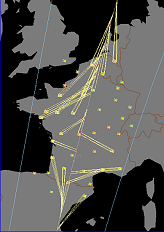
Land cover maps quickly obtained using SPOT4 (Take5) data for the Sudmipy site
=> At CESBIO, we are developing land cover map production techniques, for high resolution image time series, similar to those which will soon be provided by Venµs and Sentinel-2. As soon as the SPOT4 (Take5) data were available over our study area (Sudmipy site in South West France), we decided to assess our processing chains […]