In English

Some slides about Theia’s activities related to Sentinel-2

I was asked recently to show the activities of Theia, the French Land Data center, related to Sentinel-2, in a meeting of the EuroSDR, a gathering of the national mapping agencies. Here is what I showed :https://www.cesbio.cnrs.fr/multitemp/wp-content/uploads/sites/11/2016/11/O_Hagolle_Theia_Sentinel-2.pdf 

17.11.2016

Sentinel-2 captures the coastal ground uplift after Kaikoura earthquake in New Zealand

On Monday Nov 14 New Zealand was hit by an earthquake of magnitude 7.8. The epicenter was located near Kaikoura on the east coast of the South Island. Yesterday, the NZ Herald published aerial photographs showing tectonic uplift of the seabed of between 2 and 2.5 metres north of Kaikoura [1]. These photos were taken by […]

16.11.2016

Radiometric quantities : irradiance, radiance, reflectance

=> Beware, this document contains equations. Radiometric quantities are numerous and may seem rather complex at first sight. Here is a little guide of the various quantities you might stumble upon when using optical remote sensing data. It might be a little boring, it is full-up with integral formulas, but well, to really understand what […]

13.11.2016

Monthly cloud free syntheses merging Sentinel-2 and Landsat 8

To compute a cloud free synthesis of surface reflectances every month, a good repetitivity of observations is necessary. The weighted average method we developed at CESBIO, and which will be part of ESA’s sen2agri system was coded by Cosmin Udroiu at CS Romania. It was meant to work with both Sentinel-2 sensors and an observation every […]

07.11.2016

3D views of Aru Co avalanches from Pléiades stereo imagery

A Pléiades stereo pair has been acquired on 2016-Oct-01 just a few days after the second glacier collapse in the Aru mountains. The panchromatic band has 0.5 m resolution, which allowed us to generate a post-event digital elevation model of the area. From this digital elevation model and the Pléiades 2 m multispectral imagery, Etienne […]

21.10.2016

High spatial and temporal resolution optical remote sensing data to estimate maize biomass and yield

=> Climate variability has a strong impact on maize yield. For example, the strong drought that occurred in 2016 led to lower yields across France, even for irrigated fields. Yield estimates have a significant strategic and economic importance. High spatial and temporal resolution remote sensing data are a valuable tool for providing yield estimates at […]

17.10.2016

Patagonian skies are not cloudy anymore

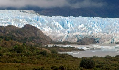
« The most usual weather in these latitudes is a fresh wind between north west and south west with a cloudy overcast sky » – Phillip Parker King, Sailing Directions for the Coasts of Eastern and Western Patagonia (1832). Patagonia is a beautiful place to visit but campers know that the weather is extremely variable and the […]

08.10.2016

Irrigated crop maps for a better water management in agriculture

=>In a previous post, i have briefly presented: To classify irrigated farmland, within the growing period and at the scale of a territory, we focused on the use of optical remote sensing images. In the lines below, I will introduce the work to generate maps of irrigated crops usin Landsat-8 time series level 2A made […]

06.10.2016

An overview of irrigation evolution in Central Asia with Landsat

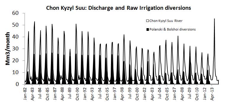
In Central Asia former soviet republics, pre-independence water allocation and irrigation system infrastructure were well maintained and operated with massive funding from the central government of the Former Soviet Union. Since independence, the situation has changed dramatically politically, institutionally and technically. Political transition from a planned to a market economy has introduced ‘new’ concepts such […]

04.10.2016

Rechercher