MACCS, renamed MAJA, now distributed as binary for non-commercial use
I have already mentioned that CNES teams working on MACCS cloud screening and atmospheric correction software and DLR teams working on ATCOR, decided to join their efforts to build a common software, named MAJA which stands for MACCS-ATCOR Joint Algorithm. And thankfully, a funding from ESA helps a lot this initiative. The MAJA code relies on MACCS architecture which is designed to use multi-temporal criteria, but the successive MAJA versions will progressively include several features coming from ATCOR which did not exist in MACCS or were less elaborated and accurate. We just released MAJA V1.0 which includes a few improvements (an enhanced mono-temporal mask coming from ATCOR has been included, as well as a modification of the estimation of water vapour). MAJA V1_0 is in fact just a little evolution compared to MACCS latest versions. MAJA V2.0 will include a directional correction (coming from CESBIO team), and a correction of cirrus clouds, that comes from DLR. V1_0 version is now being integrated to Muscate, and it will soon run on our platform, while V2_0 should be delivered to CNES this week. But the main news related to that is the fact that MAJA is now distributed as a binary code for linux Platforms RedHat and Cent OS versions 6 and 7 only. MAJA is distributed on CNES free software platform, and you will have to accept a licence and provide your email address. The licence is granted for non commercial use only. If you would like to get an extension of this licence for commercial use, please ask CNES.
MAJA was developed to process time series, if you only want to process a few images, please use SEN2COR. Given the size of Sentinel-2 images, MAJA is not meant to run on a laptop, it needs really serious computer resources, fast drives and processors, and several Gigabytes of Memory. I also have to stress that MAJA is not easy to use, and that solid knowledge in computers, linux, python might be necessary. MAJA also needs several stages of data preparation, including specific DTM generation.
Tutorial pages
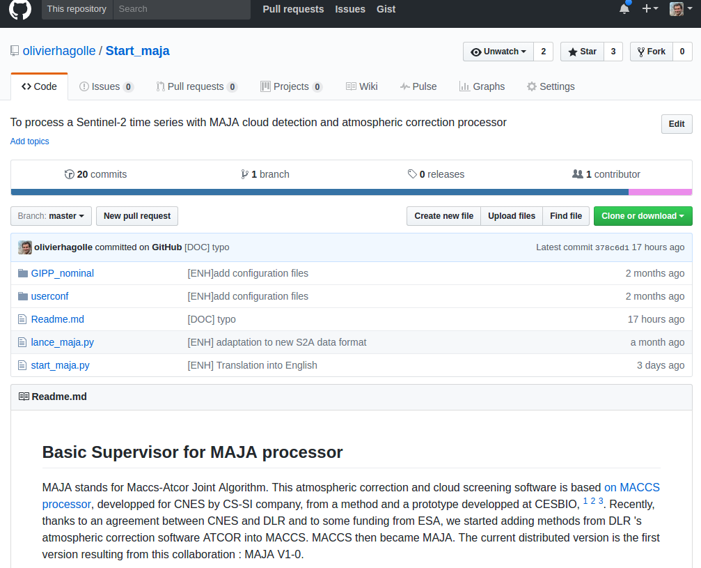
A few beta-users are now testing the installation procedures. The first feedback is that the users often do not read the documentation carefully ;). I strongly urge you to read the document provided in the package ! I have written a tutorial page on Github, and I hope you will manage to use it. In case of any problem, please do not comment here or send me an email, use the support address : maja-support@cnes.fr or add an issue to the github tutorial platform.