Sentinel-2 witnesses the Blood River in Siberia

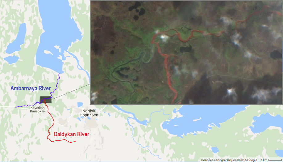
The Daldykan River is a tributary of the Ambarnaya River, which feeds the Lake Pyasino in Siberia (738 km²). According to Wikipedia in English Lake Pyasino « is almost completely devoid of fish ». However, Wikipedia in French states that « Il est très poissonneux » (full of fish).

 The news media reported that the Daldykan river recently turned red. The Association of Indigenous Peoples of Taimyr wrote in a facebook publication that the cause was a leak from the huge Norilsk Nickel mining-metallurgic complex.  The New York Times also reported that the Norilsk Nickel company said, “as far as we know, the color of the river today is no different from usual.” The company published a press release stating that the river was in regular conditions, and illustrated this announcement with photographs taken on September 07, 2016 in which the Daldykan River is plain blue.

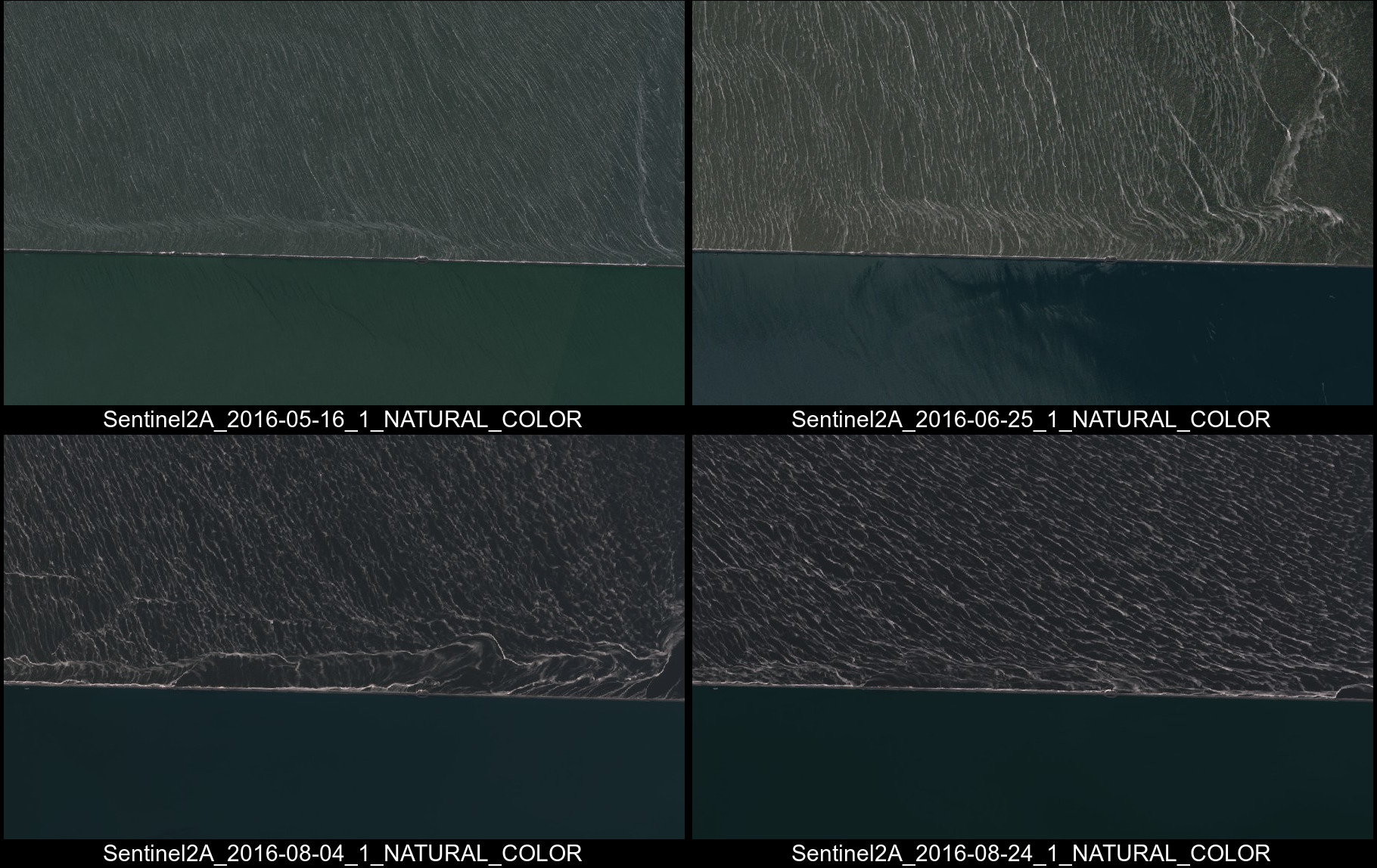
I have never been fishing in Pyasino Lake, so I can’t tell if it’s actually full or devoid of fish. However, I can tell that the Daldykan River looks bright red on the image that was acquired by Sentinel-2A satellite on Aug 28.

The confluence of the Daldykan and Ambarnaya rivers. Daldykan river runs through the Norilsk Nickel mine contrary to the Ambarnaya river. Natural color composite of a Sentinel-2A image (bands 432, acquisition date 2016-08-28)

If you feel dubious, you can check it by yourself in the Sentinel-PlaygroundEdit (03-Nov-2016): Norilsk was finally condemned for violating pollution laws. « The amount of the fine was not disclosed but the maximum is 40,000 roubles – around $635 – for a parent company Nornickel that had a consolidated revenue of $8.5 billion in 2015 », the Siberian Times reports.

Plus d'actualités

BIOMASS, the third launched satellite mission designed at CESBIO !

After SMOS in 2009, and VENµS in 2017, the CESBIO Laboratory is very proud to see its third proposed mission, Biomass, reach orbit. As always, it has been a long journey from the idea, at the beginning of the century, to the selection in 2013 as the seventh Earth Explorer Mission by ESA, to the […]

Sentinel-2 reveals the surface deformation after the 2025 Myanmar earthquake

Sentinel-2 captured several clear-sky images of Myanmar before and after the 28 March 2025 earthquake. The animation below shows a 5-day apart sequence of images captured by Sentinel-2B and Sentinel-2C (10 m resolution) near the epicenter located close to Mandalay. The surface slip due to the earthquake follows the Sagaing Fault, a major fault in […]

Evolution de l’altitude de la ligne de neige au cours des 41 dernières années dans le bassin versant du Vénéon (Oisans)

Pour contribuer à caractériser les conditions hydrométéorologiques lors de la crue torrentielle qui a frappé la Bérarde en juin, j’ai analysé une nouvelle série de cartes d’enneigement qui couvre la période 1984-2024 [1]. Grâce à la profondeur temporelle de cette série, on constate que l’altitude de la ligne de neige dans le bassin versant du […]

Rechercher