Near real time snow cover maps in the Copernicus Browser!
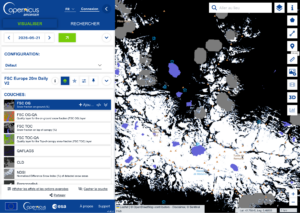
Copernicus provides near real time snow cover maps at 20 m resolution (fractional snow cover, code name: FSC OG). These products have been recently reprocessed and are now available through the Copernicus Data Space Ecosystem (CDSE) API and visualization tool, the Copernicus Browser! The latter is very useful to explore the data, for example if you plan to go hiking and need to know if there is snow on your trail…
Select Copernicus Land > Bio-geophysical parameters > fractional snow cover FSC (direct link).
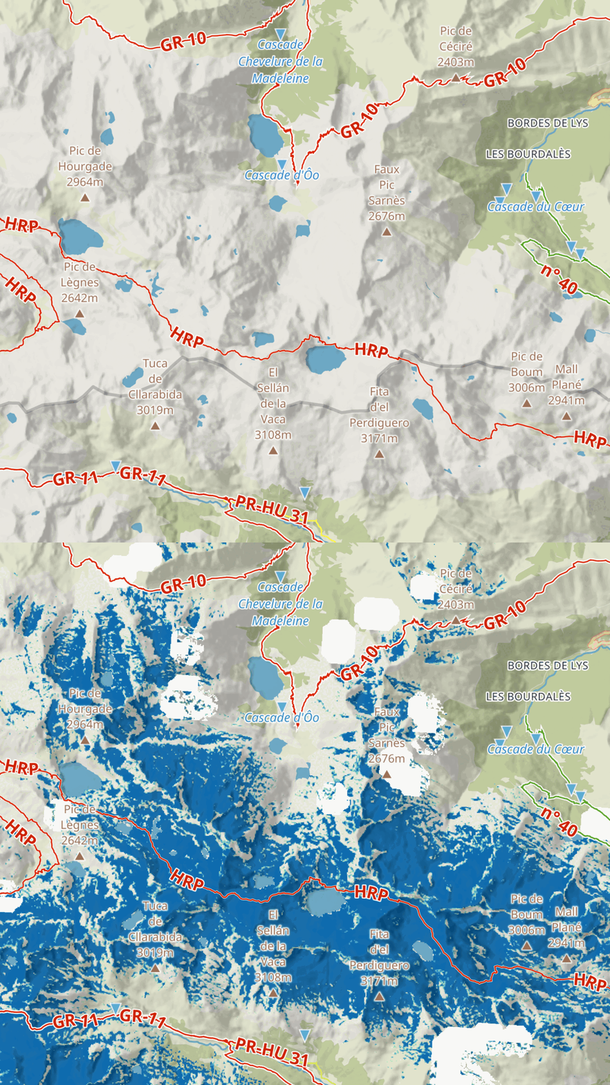
If you have an account you can download the data and load it into QGIS. Here I used MapTiler’s plugin to show the hiking trails and create the background map using the outdoor and topo layers.
The historical reprocessing campaign is still ongoing and newly processed datasets are continuously published to CDSE as production progresses. Snow products generated before their integration into CDSE remain available through the production bucket and associated client tools provided in the HR-WSI Python API client repository. These legacy datasets will be progressively transferred to CDSE over the coming weeks, with the objective of building a complete archive spanning August 2016 to present day.
The FSC products are computed by Magellium from Sentinel-2 images using MAJA and let-it-snow software developed by CNES and CESBIO.
Photo : Saoussat, CC BY-SA 3.0, https://commons.wikimedia.org/w/index.php?curid=18642454