Watching ice shelves break up with Sentinel-1

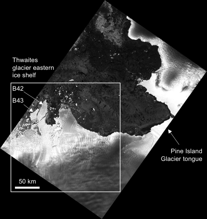
The animation below shows the evolution of Thwaites glacier eastern ice shelf in West Antarctica, from July 2016 to May 2017. I made it with 45 quicklooks of Sentinel-1 radar images processed by the Alaska Satellite Facility and available via the vertex data portal. All images were acquired in interferometric wide swath mode (polarization HH, only ascending passes, path: 65, frame: 914) and projected to ground range.


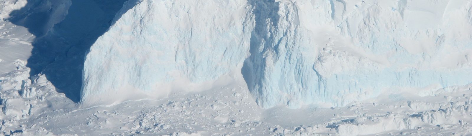
This area was imaged almost every 6 days by Sentinel-1A and Sentinel-1B with a constant observation angle. Radar imagery is important in polar regions to track icebergs during the polar night. In this sequence we can see many icebergs drifting in the Amundsen Sea. In April 2017, just before the winter onset, two big icebergs calved from the Thwaites ice shelf. Did you know that the U.S. National Ice Center (NIC) assigns a name to the largest Antarctic icebergs? According to the NIC tables I think these are iceberg B42 and B43. Iceberg B42 had a length of 17 nautical miles (31 km) in the update of May 19, 2017.

Sentinel-1B image acquired on 2017 Apr 03

(Edit on Oct 24, 2017) I extended the video to the period Feb 2015 to Sep 2017 (214 frames, this time I had to use Google Earth Engine) 


Plus d'actualités

BIOMASS, the third launched satellite mission designed at CESBIO !

After SMOS in 2009, and VENµS in 2017, the CESBIO Laboratory is very proud to see its third proposed mission, Biomass, reach orbit. As always, it has been a long journey from the idea, at the beginning of the century, to the selection in 2013 as the seventh Earth Explorer Mission by ESA, to the […]

Evolution de l’altitude de la ligne de neige au cours des 41 dernières années dans le bassin versant du Vénéon (Oisans)

Pour contribuer à caractériser les conditions hydrométéorologiques lors de la crue torrentielle qui a frappé la Bérarde en juin, j’ai analysé une nouvelle série de cartes d’enneigement qui couvre la période 1984-2024 [1]. Grâce à la profondeur temporelle de cette série, on constate que l’altitude de la ligne de neige dans le bassin versant du […]

Biophysical parameter retrieval from Sentinel-2 images using physics-driven deep learning for PROSAIL inversion

The results presented here are based on published work: Y. Zérah, S. Valero, and J. Inglada. « Physics-constrained deep learning for biophysical parameter retrieval from sentinel-2 images: Inversion of the prosail model« , in Remote Sensing of Environment, doi: 10.1016/j.rse.2024.114309. This work is part of the PhD of Yoël Zérah, supervised by Jordi Inglada and Silvia Valero. […]

Rechercher