Languages

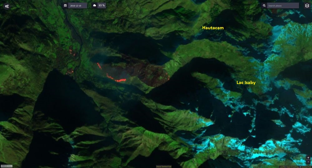
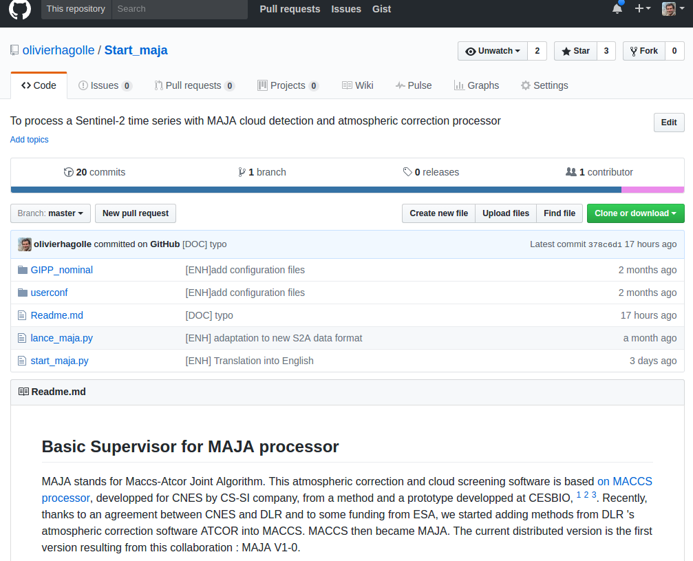
MACCS, renamed MAJA, now distributed as binary for non-commercial use

I have already mentioned that CNES teams working on MACCS cloud screening and atmospheric correction software and DLR teams working on ATCOR, decided to join their efforts to build a common software, named MAJA which stands for MACCS-ATCOR Joint Algorithm. And thankfully, a funding from ESA helps a lot this initiative. The MAJA code relies on MACCS […]

19.04.2017

10000 L2A products available at Theia for Sentinel-2

The number of L2A products from Sentinel-2 available at Theia, just passed above 10 000 ! Data from France, Belgium, North of Spain, Morocco, Tunisia, Senegal, the Burkina-Mali transect, or La Reunion Island are now processed in real time : our requirement is 60 hours, after the data is available in Copernicus hub. Next site […]

15.04.2017

Senegal Sentinel-2 L2A data available at Theia

One year of Senegal S2A L2A data available at https://theia.cnes.fr/atdistrib/rocket/#/search?q=Senegal&?lang=enUne année de données S2A de niveau 2A sur le Sénégal disponibles depuis https://theia.cnes.fr/atdistrib/rocket/#/search?q=Senegal&?lang=en  

06.04.2017

THEIA/MUSCATE nears real time for Sentinel-2 L2A

THEIA MUSCATE production of Sentinel-2 L2A products nears real time, and L2A products acquired until March 2017 over France and Reunion Island have started to appear on our distribution server : The production will progressively be extended over the whole France and over the other sites (Spain, Morocco, Belgium Tunisia, Senegal, Burkina, Mali…) and then […]

05.04.2017

Quantitative comparison of cloud masks from MACCS/MAJA, Sen2Cor and GEOSYS (hand made)

=> As already explained in a previous post, we obtained some Sentinel-2 hand made cloud masks from GEOSYS company. We used those to validate the cloud masks from MACCS/MAJA. But we wanted to use them further to make a quantitative comparison with Sen2Cor cloud masks.But this comparison required solving a little issue : GEOSYS cloud masks […]

03.04.2017

2016/17 : un record d’écobuages dans les Pyrénées ?

Image SENTINEL2 du 30 novembre 2016, « SWIR » Mais que se passe-t-il ce 10 décembre 2016 à midi, au-dessus du village de Villelongue (à 15 kilomètres au sud de Lourdes) ? Un des plus beaux écobuages des Hautes-Pyrénées de cet hiver 2016/17 ! Une très large bande de feu actif se dirige vers le sud. Ce […]

02.04.2017

The land cover classification for France in 2016 is available

=> just this once, we are ahead of time. Well, nearly. We had promised the 2016 land cover map or France before the end of first term of 2017. It exists and is available here. It’s resolution is 10m, with the same 17 classes nomenclature that we used for Landsat landcover map of 2014..The map […]

30.03.2017

Didi Abuli (დიდი აბული) vu par Sentinel2-A

Le Didi Abuli domine la chaîne de montagne du petit Caucase en Géorgie. Ce secteur très peu fréquenté situé à proximité de la frontière Arménienne offre un terrain de jeu exceptionnel pour le ski de randonnée. Ainsi sur les traces des copains de la Timuzapata,  avec 2 collègues du Cesbio et 1 de l’ONERA, nous […]

29.03.2017

THEIA diffuse un an de données Sentinel-2 L2A sur le Maroc

=>Après la France, la Belgique, le Nord de l’Espagne, la Tunisie, un transect du Burkina Faso au Mali et quelques tuiles en Ethiopie, Theia vient de diffuser un an de données Sentinel-2 au niveau 2A au dessus d’une grande portion du Maroc, de Casablanca à Ouarzazate. Les produits de Niveau 2A fournissent des réfectances de […]

26.03.2017

Rechercher