Aidez-nous à mesurer la neige orange !
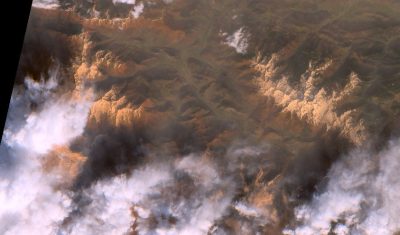
Mise à jour 22 février 2021 : la campagne est terminée ! Merci aux participantes et participants, nous avons ~60 échantillons que nous allons analyser dans les mois qui viennent. [la suite est ici] Un dépôt de poussières sahariennes a recouvert la neige des Alpes et des Pyrénées. Avis aux amateurs de montagne : nous […]