In English

First Level 2A time series of SPOT4 (Take5) images

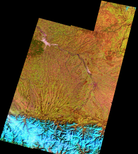
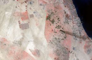
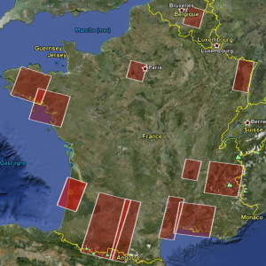
(aerosol images have been added at the end of the post)=> The verification of the various steps of our SPOT4(take5) processing scheme is going on. On Thursday, we received our first time series, I orthorectified them on Friday, and we were then able to start testing our level 2A processor with the first time series. […]

26.02.2013

The orthorectification : how it works

=> The « orthorectification » is a geometrical correction of images that aims at presenting them as if they had been captured from the vertical (in the remote sensing community, we say from « Nadir »), In practice, it transforms the satellite picture in an image that can be regiistered on a map. To do that, the raw (L1A) product […]

24.02.2013

Première mosaïque sur le site SudMiPy / 13 images mosaic on SudMipy site

=> Et voici la première ortho-image (N1C) fusionnant les 13 images prises par SPOT4 sur le site SudMiPy, les 16 et 17 février. La zone couvre 280*160 km². Les 13 images de Niveau 1A ont été livrées par SpotImage ce matin, et nous avons produit les ortho-images dans l’après midi, en utilisant le prototype du […]

22.02.2013

SPOT4 (Take5) / Progress report

=> SPOT4(Take5) experiment started two weeks ago, here is a progress report :

16.02.2013

Lancement réussi pour Landsat 8 / Successful launch for Landsat 8

(English Version) La NASA vient de réussir parfaitement le lancement de LANDSAT 8.  A la fin de sa période de vérification et étalonnage en orbite (au CNES, on dit « recette en vol »), dans environ 3 mois, les données de Landsat 8 seront distribuées gratuitement par l‘USGS. L’objectif minimal de Landsat 8 est de fournir au […]

11.02.2013

As a clockwork

(version française)So far, so good for SPOT4 (Take5) experiment ! First images were acquired yesterday (January the 31st), and will be downloaded to earth tomorrow (February the 2nd), but moreover, CNES programmed two acquisitions this morning followed by a download, so that we may check that everything goes well before the week-end. And, as a […]

01.02.2013

SPOT4 (Take5) : what’s next ?

(Version Française) Orbit Change Tomorrow, January the 29th at night, the altitude of SPOT4 will be lowered by 2.5 km. This operation is not far from the regular manoeuvres of orbit control and should not be risky. During the night, the orbit parameters will be measured and checked by our colleagues of the Operations Sub […]

28.01.2013

THEIA : A new French Data Centre dedicated to Land Surfaces

(French Version) The THEIA Land Data Centre is a French inter-agency initiative designed to promote the use of satellite data, primarily for environmental research on land surfaces but also for public policy monitoring and for management of environmental resources. Its objective is to foster the use of remote sensing data to measure the impact of […]

09.01.2013

Selection of SPOT4 (Take 5) sites

(French Version)Choosing the sites observed for SPOT4 (Take5) was not easy. The schedule was very tight, we felt that demand would be strong and we did not want to be blamed for favoritism or cronyism (and we did not even accept gifts (1)). We processed differently for sites for French laboratories and organizations on the one […]

06.01.2013

Rechercher