Land cover – Occ.des sols

Le Delta de l’Ebre vu par Venµs

=> L’Ebre (Iberus en latin) se jette dans la Méditerranée en Catalogne après un parcours de plus de 900 km depuis sa source en Cantabrie. La morphologie actuelle du Delta résulte de l’augmentation significative des apports de sédiments provoquée au XVe siècle par le déboisement intensif du bassin versant du fleuve : la conquête des […]

01.09.2017

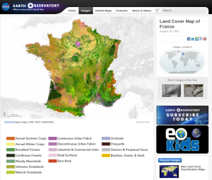
NASA selected CESBIO’s land cover map of France as « image of the day »

=> It is a well deserved recognition for the land cover product developed at CESBIO : NASA’s earth observatory blog dedicated its « image of the day » blog post for the 15th of August to this product. This work was done in the framework of Theia, using iota2 free software also developed at CESBIO. Thanks to the information conveyed […]

16.08.2017

La NASA choisit le produit d’occupation des sols OSO du CESBIO comme « image du jour « 

=>C’est une reconnaissance bien méritée pour le produit d’occupation des sols OSO développé et produit au CESBIO : le blog « earthobservatory » de la NASA a consacré son article « image du jour » du 15 août à ce produit. Ce travail a été conduit dans le cadre de Theia, avec le logiciel libre iota2 développé au CESBIO. Grâce […]

Sen2agri system released

After 3 years of development, we are very happy to share the news of Sen2Agri system release. Sen2Agri system is a fully automatic production system to produce agriculture information from Sentinel-2 data, with a focus on food security applications. For this reason, the final user meeting was held in Rome at Food and Agriculture Organization […]

29.06.2017

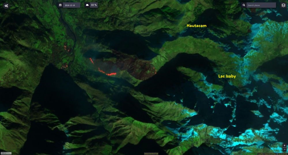
2016/17 : un record d’écobuages dans les Pyrénées ?

Image SENTINEL2 du 30 novembre 2016, « SWIR » Mais que se passe-t-il ce 10 décembre 2016 à midi, au-dessus du village de Villelongue (à 15 kilomètres au sud de Lourdes) ? Un des plus beaux écobuages des Hautes-Pyrénées de cet hiver 2016/17 ! Une très large bande de feu actif se dirige vers le sud. Ce […]

02.04.2017

The land cover classification for France in 2016 is available

=> just this once, we are ahead of time. Well, nearly. We had promised the 2016 land cover map or France before the end of first term of 2017. It exists and is available here. It’s resolution is 10m, with the same 17 classes nomenclature that we used for Landsat landcover map of 2014..The map […]

30.03.2017

La première carte d’occupation des sols 2016 de la France avec Sentinel-2

=> (article copié depuis le blog OSO) Une fois n’est pas coutume, nous sommes en avance. Enfin, presque. Nous avions promis une carte d’occupation des sols 2016 de la France métropolitaine avant la fin du premier trimestre 2017. Elle existe et est disponible ici. Il s’agit d’une carte à 10 m de résolution, avec la même […]

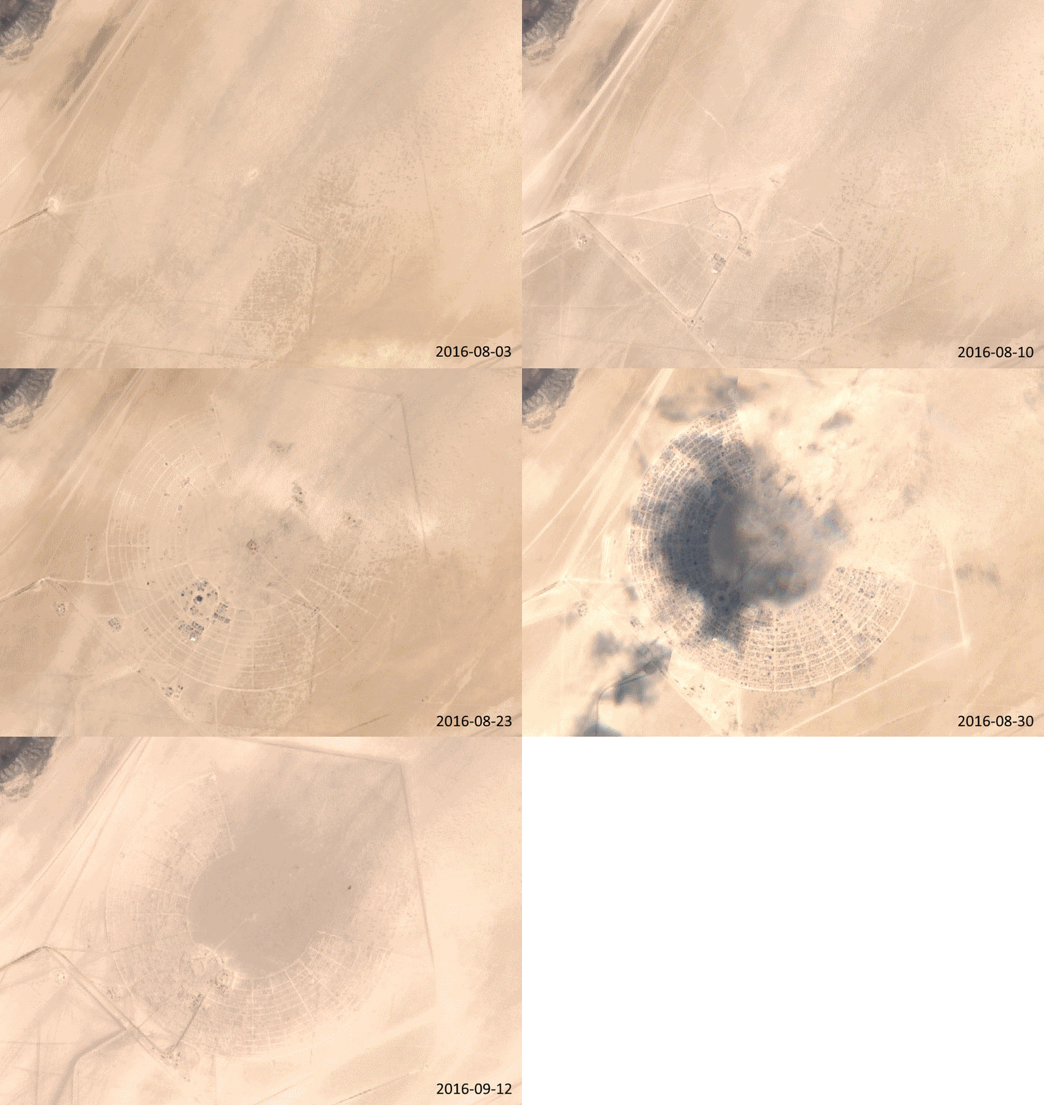
Festival time with sentinel-2

Burning Man, black rock desert, USA.Area : about 5 km2Official attendance in 2016:: about 70000 people per day during 8 days.1 people each 72 m2Conclusion about my search of the event on Sentinel-playground: EASY! The event is iin the middle of the desert, high contrasts, long preparation time, no cloud, .Festival des Vieilles Charrues, Carhaix, […]

02.02.2017

Irrigated crop maps for a better water management in agriculture

=>In a previous post, i have briefly presented: To classify irrigated farmland, within the growing period and at the scale of a territory, we focused on the use of optical remote sensing images. In the lines below, I will introduce the work to generate maps of irrigated crops usin Landsat-8 time series level 2A made […]

06.10.2016

Rechercher