En Français

Enneigement de la station de ski Superbagnères en février 2020

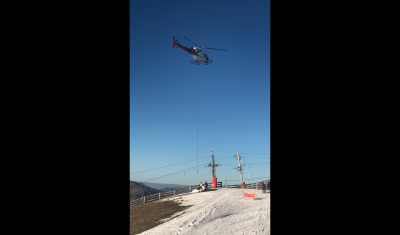
Vous avez sans doute entendu parler de l’Affaire de l’Hélicoptère : Les cartes d’enneigement du pôle Theia réalisées à partir des images du satellite européen Sentinel-2 (en accès libre ici) permettent de regarder l’état du domaine skiable de Superbagnères avec objectivité : il y a une prise de vue sans nuage le 15 février, c’est-à-dire […]

En Français

Aidez-nous à mesurer l’enneigement avec votre smartphone !

Update: nouvelle app disponible ! https://apkpure.com/snow-data-kit/com.cesbio.SDK Nous sommes à la recherche de volontaires pour nous aider à valider un algorithme de détection de la neige avec le satellite Sentinel-2 ! Toute personne équipée d’un smartphone Android peut participer. Pour cela il suffit d’installer ODK Collect sur votre smartphone (tutoriel ci-dessous). Ensuite c’est très simple de […]

landslide

My remote sensing analyses on Twitter. Part 2: landslides

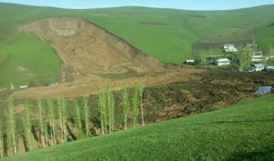
I started to look at landslides in satellite images when I saw this tweet by @RemotePixel: July 11th 2016 Sentinel-2 Image over Glacier Bay, AK massive landslide! pic.twitter.com/pTnHQ7el8G — Remote Pixel (@RemotePixel) July 14, 2016 Like floods, landslides can be quickly identified using a before/after image comparison. In the case of the Glacier Bay landslide […]

In English

[VENµS News 4] Multi-angular views, every second day

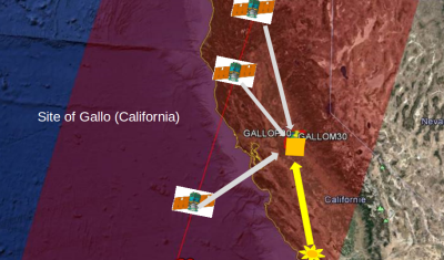
Venµs is a research satellite, and a rather agile one (at least for a microsatellite). It enables us to make experiments useful for users like us who like to study physics of optical measurements (which is an allowed perversion, as fas as I know). We have started last year to acquire multi-angular observation, under 3 […]

In English

[VENµS News 3] Venµs L2A products are now produced by Theia, at 5m resolution

1/ New 5m Level 2 products The Venus L2 production has been moved to a different processing center. From January 2020, the VENµS L2 production is only performed by the MUSCATE processing center, instead of the VIP (VENµS Image Processing) center, with MAJA processor also used for Sentinel-2. The aim is to improve the integration […]

In English

[VENµS news 2] Mission extension and next phases

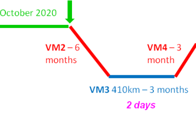
About one year ago, we had submitted a call for ideas for the use of VENµS imager after the end of its nominal phase. CNES also organised a brain storming meeting, which came up with a few ideas, and then our proposals were discussed with our israeli partners. Here is what was agreed between CNES […]

Venµs

[VENµS News 1] One month without images

There will be no VENµS image acquisition from January 7th to February 8th 2020. This period (called IHET month) is devoted to the test of the Israeli electric thruster (IHET)developed by Rafael Ltd, which is one of the missions of the satellite. (in order to be kept informed of such events and other news, please […]

Sentinel-2

Floods in southeast Iran

The region of Sistan and Baluchestan was hit by very heavy rain causing widespread flooding near Chabahar city in southeastern Iran. Sentinel-2 captured the plume of sediments from rivers Bahu Kalat (Iran) and Dasht (Pakistan) in the Gwadar Bay, located in the Gulf of Oman on the maritime border of Pakistan and Iran.   In […]

In English

My remote sensing analyses on Twitter. Part 1: floods

S. P. Hicks (@seismo_steve) wrote for Nature Geoscience a nice piece « Geoscience analysis on Twitter » where he shares his experience on using Twitter for the real time analysis of geohazards. Actively using Twitter for science may be perceived by some as a significant time-sink — the demands on individual researchers and their institutions at times […]