Venµs’ moon
 =>
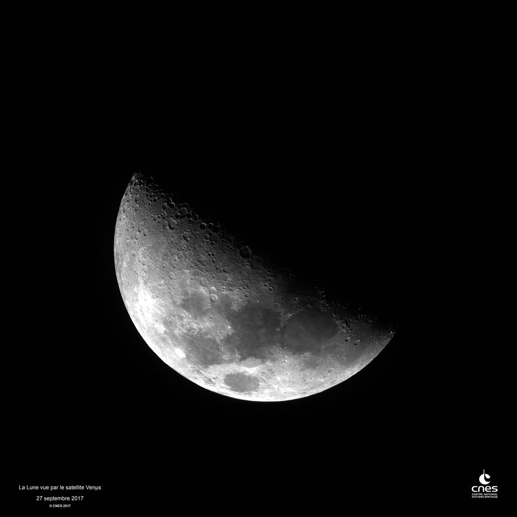
=> Well, the audience of our blog is still steady increasing, there is no need to use explicit titles to get more connexions. And although I mainly use space to look down, I do not think the planet has a natural satellite. So why this title ?The Venµs satellite actually showed us the moon, and not only to provide a nice title in this blog. Our Israeli colleagues from MBT really worked hard to obtain it, as a very good pointing accuracy is needed to image it from a quickly rotating satellite : the moon is far from here !
If we made all these efforts, it is because the Moon has many advantages to assess and tune the image quality. The moon is the perfect desert site, with no atmospheric effects to correct, and without this vegetation which, according to absolute calibration specialists, often contaminates the images from earth. More over, the sky around the moon is perfectly black, and we have a perfect contrast between a bright object and a black one. We intend to use the moon for two things :
- Absolute and multi-temporal calibration : we will be able to monitor , as a function of time, the conversion factor which converts the numerical counts from the instrument to physical quantities (radiance, then reflectance), with an accuracy of a couple of %
- Stray light correction. Every optical instrument has some stray light : it is light that does not go exactly where it should within the instrument, and usually will add a faint halo around bright targets. For Venµs, as we saw during the instrument tests in laboratory, this halo is not faint enough, and needs to be corrected. But in the lab, having a black target is hard, and when you observe a dark target close to a bright one, you always wonder if the faint light you observe comes from the instrument, or from the measurement set-up. Regarding, the moon, no more doubts ! We are going to use this image to check the correction, and eventually, improve it; .
This image was just acquired, the first findings are great, but we need more tie to process the data and show the results.