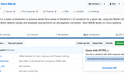
Languages

Release of MAJA 3.2

The version 3.2.2 of MAJA cloud detection and atmospheric correction software has just been released! It brings a lot of improvements. It can be used to process Sentinel-2 data in four different manners that will be described below : Improvements

11.02.2019

L’IGN nous fait remonter le temps

L’IGN a mis en ligne un outil formidable pour comparer les photos aériennes des années 1950 avec des prises de vue récentes. Cela permet d’explorer à l’envi l’évolution des paysages, comme par exemple la reforestation des estives dans les Pyrénées (ici le secteur de l’étang de Lers, en 2016 et 1953). Ou bien le retrait […]

02.02.2019

S1-Tiling, on demand ortho-rectification of Sentinel-1 images on Sentinel-2 grid

=> Sentinel-1 is currently the only system to provide SAR images regularly on all lands on the planet. Access to these time series of images opens an extraordinary range of applications.In order to meet the needs of a large number of users, including our needs, we have created an automatic processing chain to generate « Analysis […]

30.01.2019

Différence de phénologie des chênes.

4 thèses en cours à Toulouse pour étudier les forêts tempérées par télédétection

Le pôle toulousain de recherche publique en télédétection est surtout connu sur la thématique forestière grâce à la mission BIOMASS, qui sera lancée vers 2021 et qui est portée par le CESBio, mais qui concerne surtout les forêts tropicales. L’objectif de cet article est de présenter les travaux en cours sur les forêts tempérées, dans […]

S1Tiling : ortho-rectification à la demande des données Sentinel-1 sur la grille Sentinel-2

=>​ Sentinel-1 est actuellement le seul système à fournir des images SAR régulièrement sur toutes les terres de la planète. L’accès à ces séries temporelles d’images ouvre un champ d’application hors du commun. Afin de répondre aux besoins d’un grand nombre d’utilisateurs, dont les nôtres, nous avons créé une chaîne de traitement automatique permettant de […]

Sentinel-2 + OpenStreetMap = ♡

You may have heard about the tailings dam collapse at Feijão mine in Brumadinho, Brazil. The disaster occurred two days ago on Jan 25 and at least 58 people were found dead, while 300 are still missing. A Sentinel-2 acquisition was planned for today, therefore tonight I checked the EO Browser to see if the […]

27.01.2019

Near-real time analysis of the 2018-2019 snow season in the Pyrenees and the Alps from satellite data

Here in southwest France ski lovers did not really enjoy the beginning of the snow season… But how does it compare to the previous years? Using Sentinel-2 and Landsat-8 data, we computed the snow cover duration since September 01 until January 20 for the past three snow seasons in the Alps and Pyrenees.

25.01.2019

Anak Krakatau before and after the December 2018 eruption

Anak Krakatau (Indonesia) erupted on 22 December 2018. During the eruption the collapse of the volcano summit triggered a tsunami in Sunda Strait causing a death toll of 437. The first post-event clear-sky image was finally acquired by Sentinel-2 today on 13 Jan 2019 (after 10 cloudy acquisitions). Here is an image comparison of the […]

13.01.2019

Improvement of water vapour retrieval in MAJA

Similarly to the aerosol retrieval, the retrieval of water vapour in MAJA atmospheric correction has also been improved, thanks to the work of Elsa Bourgeois (Cap Gemini) and Camille Desjardins (CNES). An accurate estimation of water vapour is not necessary to perform an accurate atmospheric correction, because water vapour absorption in most of Sentinel-2 bands […]

20.12.2018

Rechercher